So yesterday, I got up a 3:30 AM to get ready to depart. We had to take my brother and sister-in-law back to Jacksonville International Airport for their flight back to Chicago, which brought us conveniently close to downtown. After dropping them off and saying our goodbyes, we headed back south to Friendship Park on the Southbank part of Downtown. We put in at the boat ramp near the base of the Acosta Bridge (might I add that the Acosta family is Minorcan), next to the ridiculously expensive River City Brewing Company restaurant, and shoved off at 6:34 AM.
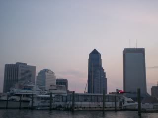
Sunrise over The Northbank. (Sorry about the blurriness, I was paddling and taking pictures and activating my GPS at the same time :-D)
We paddled east and went under the Main Street Bridge (the big blue one) and continued east toward the Hart Bridge. This area is very well known for killer currents because it is the narrowest part of the river in the area. Water from the 2-mile-wide channel upstream is forced through this quarter-mile-wide channel downtown, which creates a very fast current downtown and is made even stronger as it flows under the bridge pilings. We were able to keep about a 4 MPH speed without paddling hard at all. We came upon the new St. Johns Center development on the Southbank, and a I snapped some pictures for my E-Urban Empire friends.
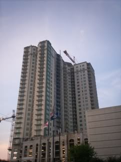
This is the new condo highrise this is being developed next to the Riverplace Tower on the Southbank. Called The Strand at St. Johns Center, it will be 28 stories tall and is planned for an opening this fall. It will later be accompanied by The Peninsula (below) and The Vu (planning stages, 42 stories).
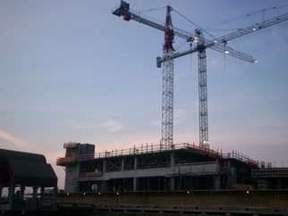
This is the early phase of construction of The Peninsula. When finished next year, it will be 38 stories tall and taller than the neighboring Riverplace Tower. They are currently on the 3rd floor of construction.
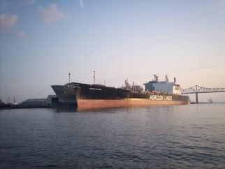
Continuing downriver, we came upon Talleyrand, the smaller of the two ports in Jacksonville (the other being JAXPORT, one of the largest...maybe even the largest...port in the Southeast US). There, we saw these two huge tankers being unloaded...You can never understand how huge these ships are unless you see them in person. We gave them a wide berth, afraid of any weird currents or eddies that could suck us between the ships, and into deep trouble with port security.
We paddled underneath the towering Hart Bridge and reached Rattlesnake Island (also called Exchange Island) at 7:30 AM. This is the island that the Mathews Bridge crosses over. Paddling around it, we noticed the very thick, lush underbrush and trees, characteristic of any natural undeveloped island in Florida.
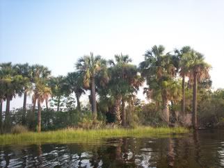
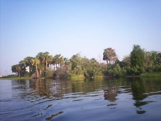
Approaching the easternmost tip of Rattlesnake Island, we were greeted with a beautiful cabbage palm hammock. Again, really something more beautiful in real life than in a picture. You may be able to see a part of the Mathews Bridge in the left side of the top picture, but it soon disappeared as we rounded the corner onto the lee side of the island.
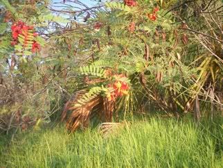
I'm not sure what kind of flower this is, but it is red with fern-like leaves and had seed pods all over it. They seemed to be numerous on the island. I'll have to look this one up.
Coming upon a nice sandy landing site on the eastern side of the island (the side facing the Arlington area), were were greeted with......trash....a LOT of trash. Judging by the hundreds of empty beer cans, it seemed apparent to me that this was a favorite party site among some people, most likely college children on spring break (I call them "children" on purpose, because that's about how mature they are). I told my dad that we need to come back here soon with a roll of extra large trash bags and spend a day cleaning this site up. He didn't seem too thrilled about the idea, but it is important to me.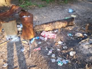
This doesn't even come close to catching the scope of the litter at this campsite. Completely disgusting. They had even cut down a cabbage palm for firewood (how stupid is that? a live cabbage palm for firewood??) which, obvisously, did not burn very well and was just left behind. And one of the things that astounded me most was that they had destroyed the trash cans. Look at how bent that rusted one is in this picture...So they had the time to destroy the trash can, but didn't have the time to place their trash in it. How sickeningly ignorant.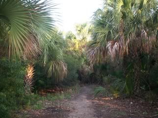
Beautiful lush subtropical growth. Who knew you could find this in Downtown Jacksonville? This trail went back into the woods a little and appeared to empty into another campsite. I didn't bother to follow it because I knew I would just be greeted with more trash. Instead, we began heading back west toward the boat ramp.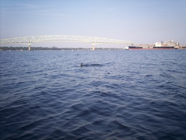
At around 7:55 AM, 600 feet from Rattlesnake Island and .65 miles from the Hart Bridge we spotted a pair of Dolphins. The above picture was taken a couple minutes after we first spotted them, and they surfaced many times and came within 20 feet of the kayak. Unfortunately, this was the best picture I was able to get of them.
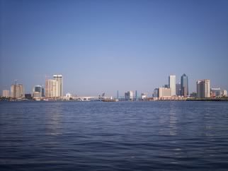
This is the view of downtown Jacksonville from the East, around The Shipyards (vacant and soon to be developed into a bunch of big towers).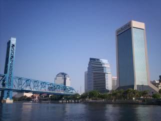
We pulled out at 8:55 PM and headed back home. I really enjoyed this trip, and now I have another cleanup mission to go on. I hope to get back and do this trip again soon.
Total Distance: 6.8 Miles
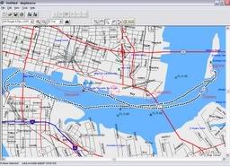
A really crude enlarged screenshot of my GPS track.

No comments:
Post a Comment